Using a principal Component Analyses (PCA) to determine low relief anticlines / NW Iraq
DOI:
https://doi.org/10.52716/jprs.v9i4.318Abstract
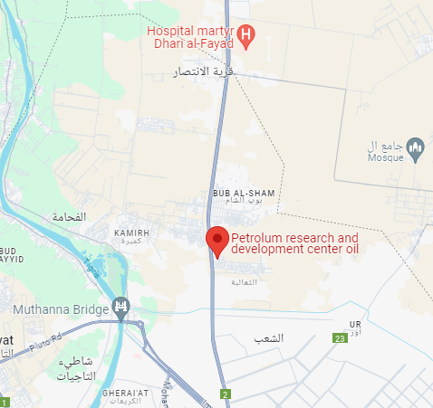
The main purpose in this study is addressing and valuating the role of Principal Components analyses (PCA) techniques (as an enhancement approach in image processing of satellite images) to recognize and determine the positive landforms, especially low relief anticlines in the study area, which is located between west of Mosul Lake till Awienaat town (NW Mosul City).
The use of PCA technique ( as an image processing) for Landsat TM 5 satellite images dated 2009 (six bands) would accumulate most of the information in the first principal component, where the variability rate is more than 90%, which means most of the information of the land features in the study area have been trapped in this component. While, the rest of the information rate have been distributed in the other five principal components, which the second component contains about 2% of the information and the third component has 1% of the information, whereas the rest of the components (the last three components) have less than 1% of the information.
The final results of this study are false colored images that have been composited from the concluded principal components (six components), to reveal and determine the low relief anticlines in the area, which can't be recognized easily by vision. Two anticlines have been recognized near to Awienaat Town with east-west trend and low relief topography. Moreover, another anticline has been distinguished to the south of Butmah anticline with northwest-south east trend.
Downloads
Published
How to Cite
Issue
Section
License
Copyright (c) 2020 Basman Y. Hameed, Alaa N. Hamdoon

This work is licensed under a Creative Commons Attribution 4.0 International License.


